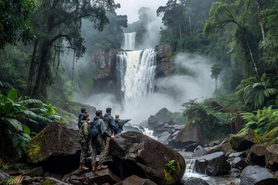
Navigating Rainforest Reserves & River Gorges
Unlike open alpine ridges where weather systems can be spotted miles away, dense forest canopies conceal localized convective downpours taking place further upstream. A sunny pool at the base of a limestone or basalt waterfall can turn into a turbulent surge within twenty minutes if heavy rain strikes the upper catchment basin.
Shiratani Unsuikyo & Yakushima’s Granite Ravines (Kagoshima, Japan)
On the circular granite island of Yakushima, warm Kuroshio ocean currents collide with nearly 2,000-metre peaks—giving rise to the local proverb that it rains "thirty-five days a month." In the Shiratani Unsuikyo ravine (600m–1,050m), walkers follow the Bugyosugi Course or walk up through moss-draped Yakusugi (ancient Cryptomeria trees over 1,000 years old) toward the Taiko Iwa granite outcrop. Several crossings in the lower ravine utilize granite stepping stones placed across snowmelt- and rain-fed torrents. When the Japan Meteorological Agency issues a Heavy Rain Advisory for Yakushima Town, forestry staff close the suspension bridges and low-water boulder crossings immediately; hikers already above the stream must use the higher forestry bypass track or wait out the peak flow at mountain huts.
Cat Tien National Park & Bau Sau Wetland Trail (Southern Vietnam)
Straddling the Dong Nai River north of Ho Chi Minh City, Cat Tien preserves lowland semi-evergreen forest dominated by huge buttress-rooted Tung trees (Tetrameles nudiflora) and crape myrtle. The 14-kilometre combined jeep-and-foot journey to Bau Sau (Crocodile Lake) includes a 5-kilometre forest footpath beneath a dense rattan and bamboo understorey where golden-cheeked gibbons call at dawn and Siamese crocodiles inhabit the seasonal marshland.
Conservation Fee & Ranger Checkpoint: All walkers entering the Bau Sau trail must pay the wetland conservation fee at Cat Tien headquarters before crossing the Dong Nai ferry and sign the logbook at the Bau Sau ranger station. Remaining on the elevated boardwalks at the lake edge is strictly enforced for visitor safety and crocodile nest protection.
Kaeng Krachan & Khao Sok Watershed Protocols (Thailand)
In Thailand’s largest national park, Kaeng Krachan (along the Tenasserim Range border with Myanmar), as well as the karst rainforest of Khao Sok further south, seasonal closures are strictly enforced by the Department of National Parks, Wildlife and Plant Conservation (DNP). Higher camps such as Phanoen Thung close annually from August through October to allow forest tracks to recover from monsoon saturation and to give wildlife undisturbed breeding corridors. Inside Khao Sok, canyon trails leading to waterfalls like Ton Kloi or Sip Et Chan are subject to sudden flash-flood lockouts; never bypass a red warning flag at a ranger barrier.
Rainforest Field Craft & Bio-Ethics
- Managing Terrestrial Leeches Without Polluting Streams: Haemadipsa land leeches are harmless but persistent across wet Asian forests. Wear knee-high woven cotton leech socks tucked over trousers and under gaiters. Avoid spraying heavy DEET or permethrin on your ankles if you plan to wade through streams, as chemical runoff harms endemic amphibians and freshwater crabs. Carry a small pouch of salt or a credit card edge to detach any leech that finds a seam.
- Protecting Bryophytes & Epilithic Plants: In cloud forests like Yakushima, Alishan, and Mount Kinabalu’s lower montane belt, centuries-old moss carpets hold essential moisture for tree roots. Step exclusively on rock, exposed timber treads, or bare earth—never widen a trail to avoid a mud puddle.
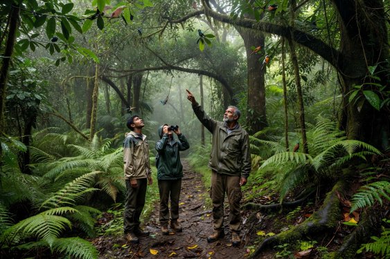
- Acoustic Discipline: Primates (gibbons, langurs, tarsiers) and hornbills flee human noise long before they are visible. Walk in small groups of two to four, speak in low tones, and wear neutral earth-toned clothing rather than bright synthetic neon fabrics.
 Sabaragamuwa & Southern • UNESCO